More tips:
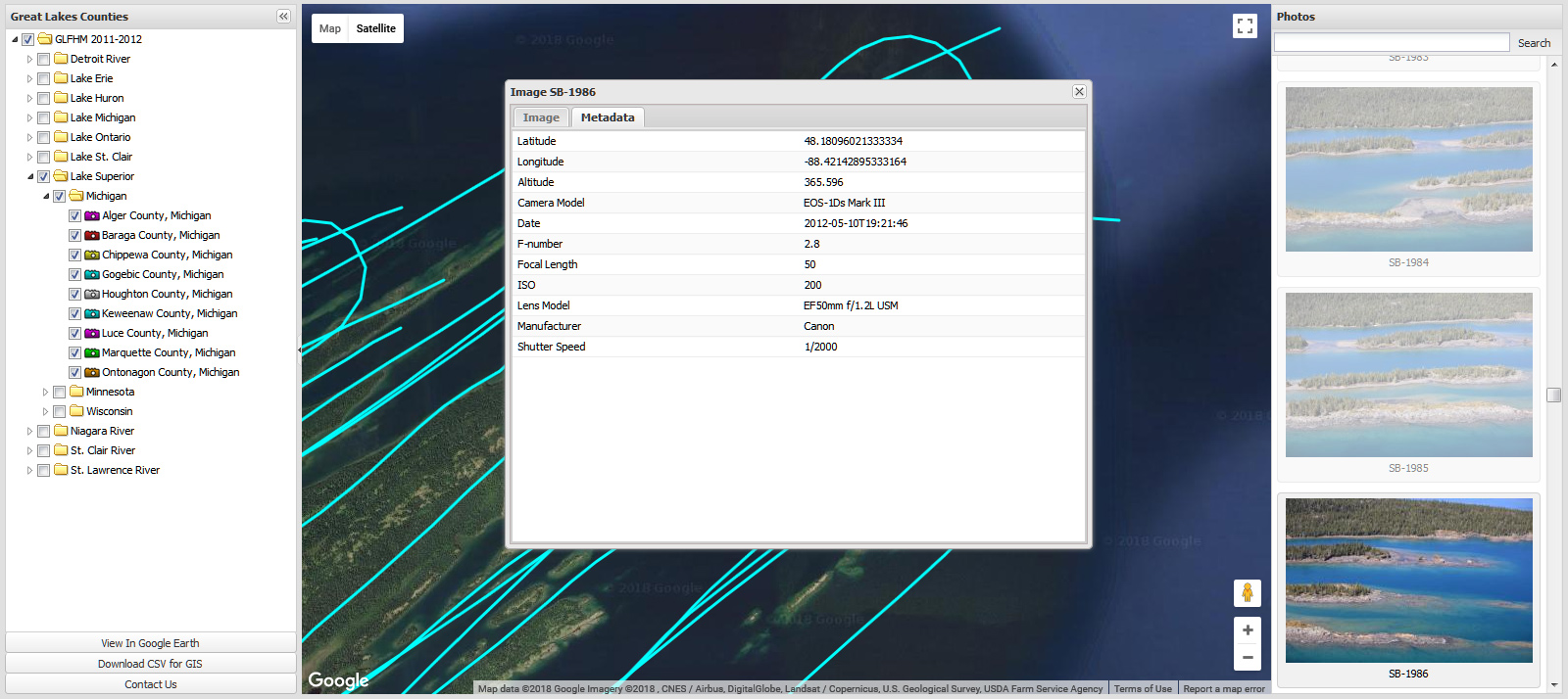
Click the Metadata tab in the Image pop-up window will allow you to
view the image details- exactly where, when, and with what the photo
was taken.
Also note that at the bottom of the left hand 'Great Lakes Counties'
pane you can open any location in Google Earth if you have that program
installed.
Also available is raw Comma Separated Value GIS data.
Happy flying! Get started here: https://greatlakes.erdc.dren.mil/
Return to beginning of tutorial, or swing by my Link Roundup page for more fun.
<Previous step