Ever wondered what flying along the entire US coast of the Great Lakes would be like?
Well, you're in luck because there's a website out there with every mile of shoreline photographed from the air.
First, lets load up the website: https://greatlakes.erdc.dren.mil/ (Opens in a new tab)
This tutorial will show you how to navigate and use this great resource about the Great Lakes.
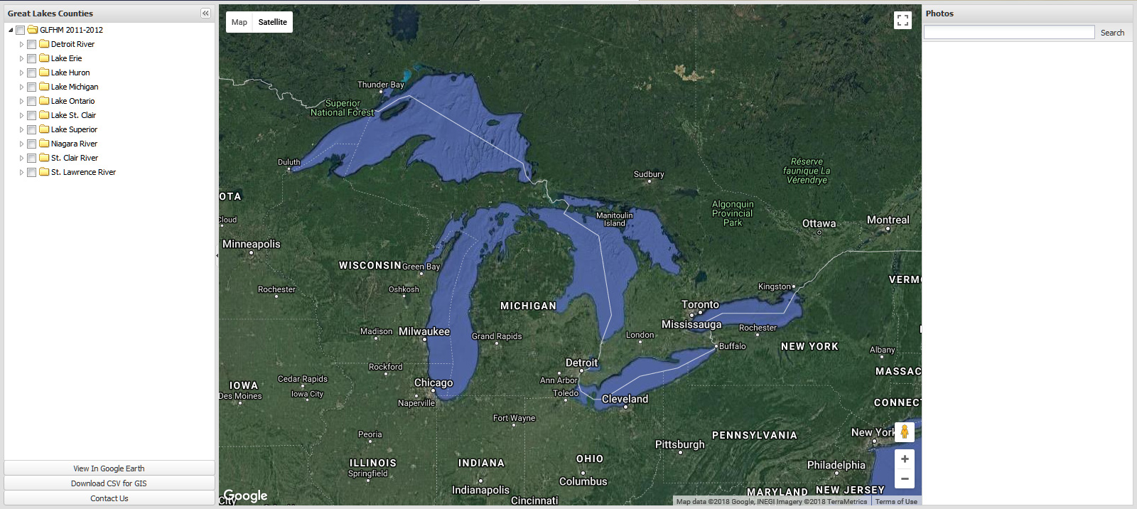
It should look like this when first loaded:
Click the image or advance to the next step.