Next, in the left hand pane labeled 'Great Lakes Counties', click on the desired body of water.
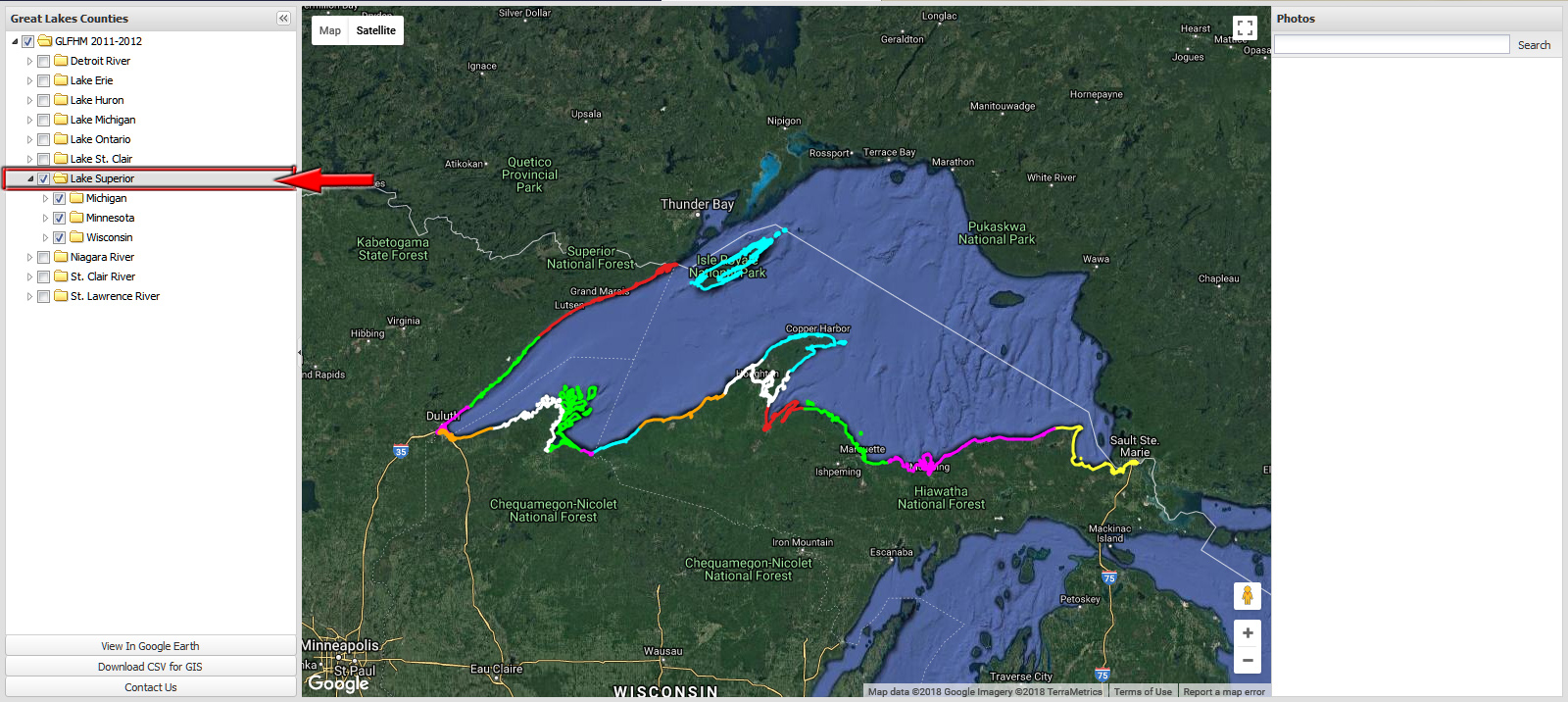
In
this example, I've ticked the box labeled 'Lake Superior'. The map centers itself on the selected area.
Note that all areas that have aerial imagery available are now denoted
by various colored lines. Each color represents a different State and
County.
Click the image or advance to the next step.
<Previous step