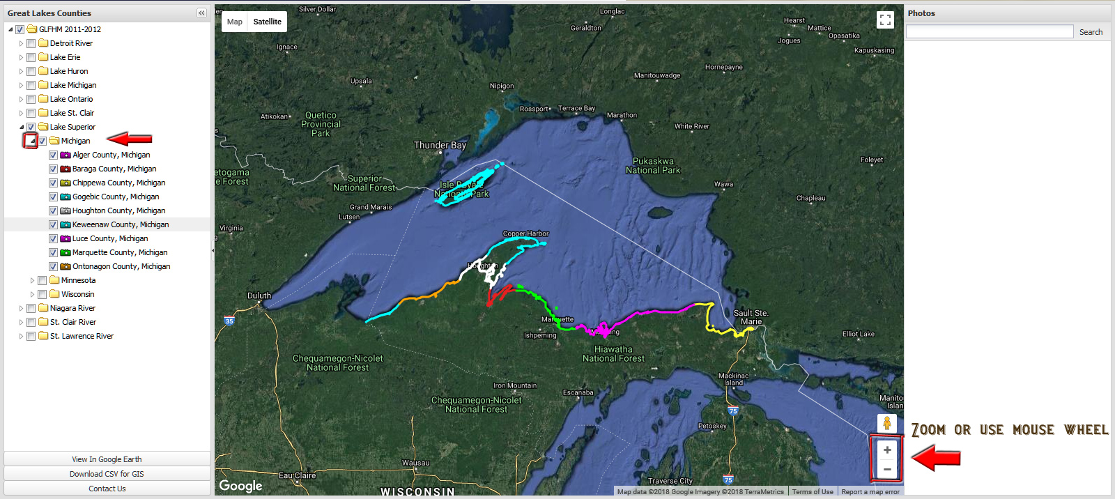
Here I've clicked the Expand arrow to display the list of Michigan Counties.
The color of the camera icon in the list corresponds to the color tracks on the map.
You can toggle on or off County by County if desired.
At this point, let's Zoom in to see some more detail.
You can use the + or - icons on the map or use your mouse wheel.
For this example, I'm going to zoom in on Isle Royale National Park because that place rocks.
On the map and County list it's denoted by a teal color.
Click the image or advance to the next step.
<Previous step